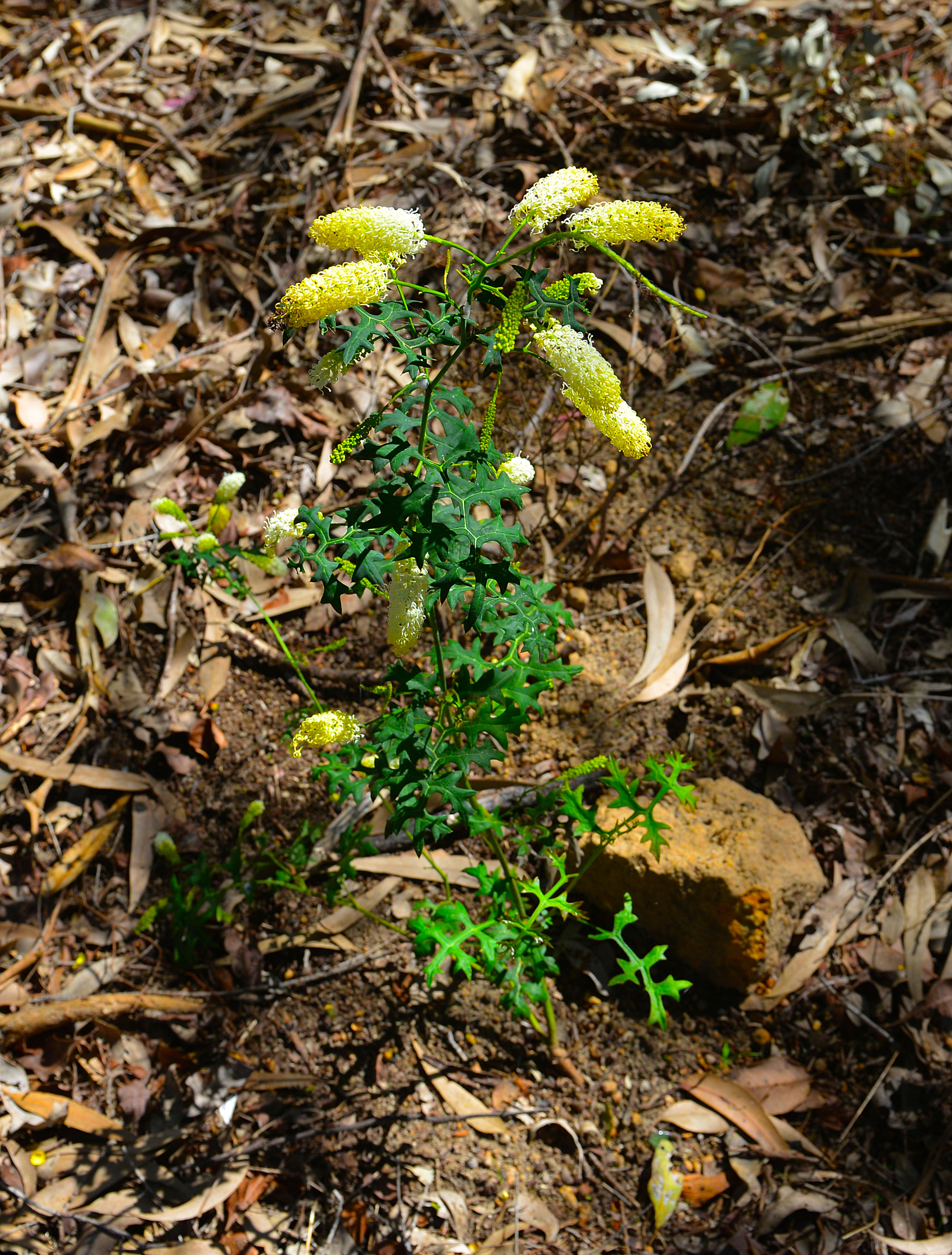
Taken in late winter, this grevillea synapheae (Catkin Grevillea) is just one of many varieties to be admired alng the walk trail.
Eastern Railway
Darlington - Glen Forrest Heritage Walk
Researched and written by Rob Borsje & Lyn Myles
This Heritage Walk was created because there is so much rich history both in Darlington, Glen Forrest and the former railway line that joins them. Darlington and Glen Forrest both have their separate heritage walks and it seemed appropriate to include the old railway line that once served them both so well. if nothing else, this walk links the two townships and affords walkers a complete walk trip around each township and the line between them.
There is a lot of evidence along the line of the construction techniques used in the 1880s and although today it is a very pleasant walk trail, the railway was once the major form of transportation for passengers and heavy goods before the motor vehicle and trucks became affordable. The construction of the railway (named 'Stage 2') between Bellevue and Mt Helena (Lion Mill, in its day) was undertaken using manual labour, there being no mechanised equipment in those days.
As a nature trail now, it hosts a plethora of wildflowers in the spring and early summer and in the wetter months, Nyaania Creek burbles along, spilling over the rocks making a waterfall beside the rest area, and when it is running, even when you can't see the creek, you can hear it as it runs through the channel cut into the rocky hillside in the 1880s, above the walk trail.
This channel is a unique piece of engineering, driven by the need for the railway construction to avoid a specific boggy area closer to Glen Forrest, the latter to become known as the 'Devil's Terror'.
While the precise location of the 'Devil's Terror' cannot be pinpointed to one specific spot, the area along the line where the general area was located is still today, wet and boggy, albeit the ground either side has collapsed in on the original cutting since it was abandoned, so the pipe clay is no longer visible.
To read more on the history of this area, get your hands on a copy of Ian Elliot's 'Mundaring, A History of the Shire'.
Copies can be found in both Mundaring Shire libraries and they are also sold at the libraries as well as from the Shire Office. This is a quintessential book for historians, or anyone with a history interest, on the history of the Mundaring shire.
Source: "The Herald", Fremantle, 2nd June 1882, pp 2.
On two or three occasions during our progress up the line we witnessed the process of blasting, at a safe distance. The method is as follows :- A hole is bored to the desired depth of the cutting into the bottom of which is placed a plug of dynamite. This being exploded causes a cavity at the extremity of the hole, which is termed "bulling" the hole.
Into this cavity powder and dynamite are placed, and the hole is then "tamped," that is to say, the aperture is filled up with earth, a fuse being attached. The "tamping " has the effect of causing the force of the explosion to be expended in a lateral instead of a vertical direction.
There is not very much noise about these blastings, except when such spots as "the Terror" have to be overcome, but the displacement is very considerable. A proof of the magnitude of the blasting operations of the firm is that they have already expended about 7 tons of powder and 2 dozen cases of dynamite, which one would fancy almost sufficient to land Greenmount on the top of the Perth Town Hall.
Lennon's patent ploughs are largely used by the firm in the construction of the line. They weigh from 10 to 12 cwt. and are guaranteed to stand the dead strain of 24 bullocks. They will plough through almost anything but solid rock, and a proof of their power is that they were employed all through the recent dry season when the ground was so extremely unyielding.
but the writer goes on to identify one of the major issues with the railway line . . .
. . . But having noted these encouraging facts it remains to take into account a far less hopeful feature in connection with the subject in hand. I before said that one embankment is no less than 45 feet high and that its gradient is 1 in 30. This gradient, however, extends a distance of l 3/4 mile, and is moreover a series of curves from end to end. Extremely powerful engines will be evidently required to over come a grade of 1 in 30, for such a distance as I have mentioned. . . and later in the same report. . . The prospects of a white elephant upon our hands in the shape of an unworkable or ruinously expensive line are too fearful to contemplate. . .
The maximum gradient of the line was 1 in 30 which means there is a 1 foot rise over 30 feet of length. The max. gradient limits the maximum load an engine can pull. The less the gradient, the more tonnage can be moved. This issue, coupled with tight curves, was to last the life of the line. After the northern "Mahogany Creek Deviation" was completed in 1895 (Swan View - Hovea - Parkerville - Stoneville - Mt Helena), almost all freight traffic ran over the newer line.
The 'Devil's Terror' cutting is detailed in the newspaper article extract below.
Source: "The Herald", Fremantle, 3rd May 1883, pp 3.
A party of ladies who visited the spot and were dissatisfied with the name of the 'Big Bank' bestowed on it by the men, rechristened it, calling it by the much more forcible and appropriate name of 'The Devils Terror.'
And certainly it has proved to be a spot which, if not sufficient to alarm his diabolical majesty, is decidedly calculated to cause the stoutest hearted contractor to quail. This cutting has a bottom consisting of soap stone and pipe-clay. The sides have collapsad on several occasions- not merely shifted - and the result of the collapse of the sides is to force up the bottom, and put the line fully three feet out of its proper direction.
The character of the soil at this cutting may be imagined when I say that an iron "jumper" ten feet in length will, of its own weight, sink in to its whole length, and this with out any pressure ; and it a man incautiously tread on it, he sinks in to his waist and gets out with difficulty. The bottom will have to be piled and strutted, and two extensive rubble drains constructed, in fact it will have almost to be bridged over - the process being much the same as that of bottoming a swamp, It is worked with what is technically termed " a heading," that is to say a tunnel is constructed, the bottom and sides of which are close timbered. The waggons are drawn in and out of the tunnel by wire ropes six and seven chains long, which are fastened round iron blocks. . .
Taken in late winter, this grevillea synapheae (Catkin Grevillea) is just one of many varieties to be admired alng the walk trail.
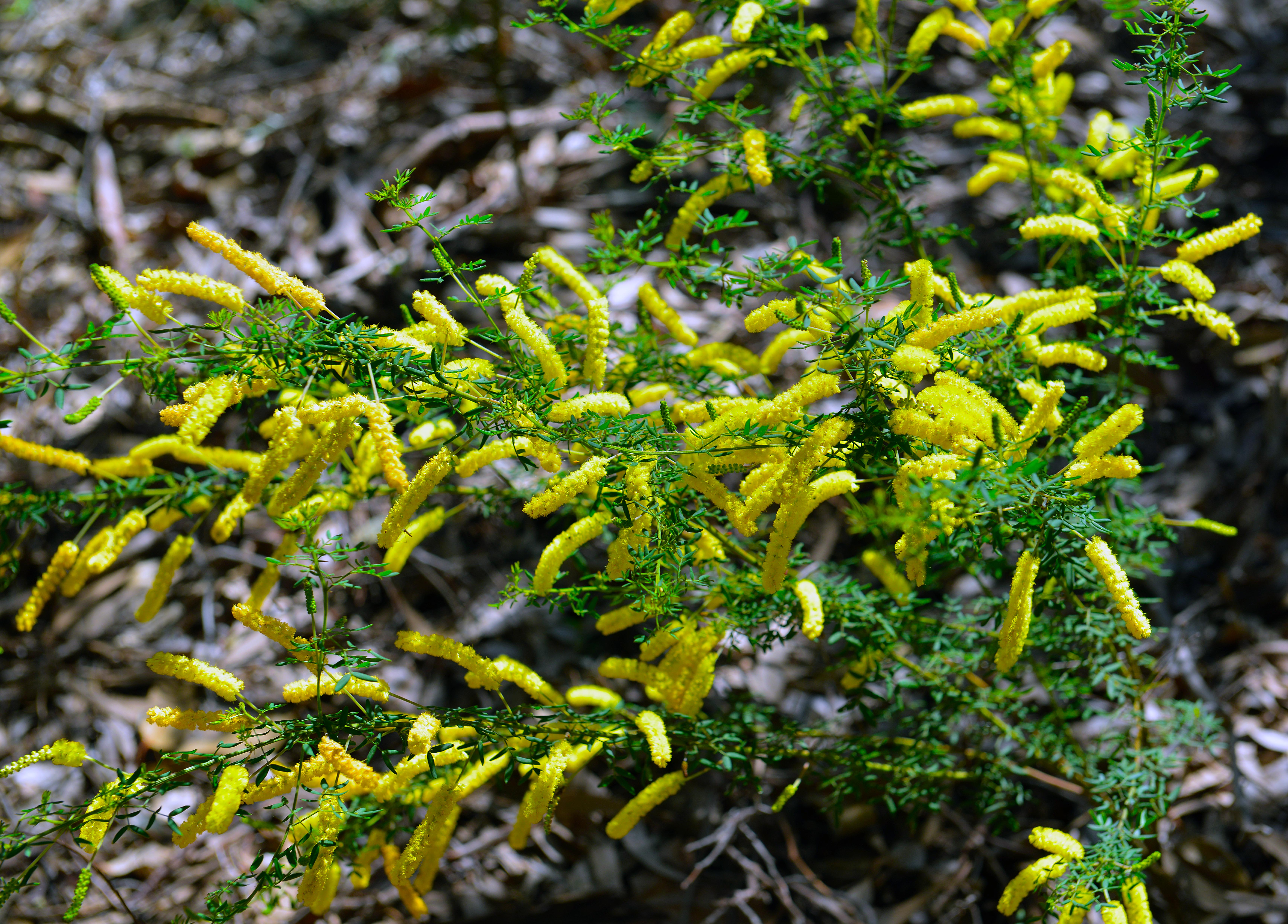
An example of Acacia drummondii.
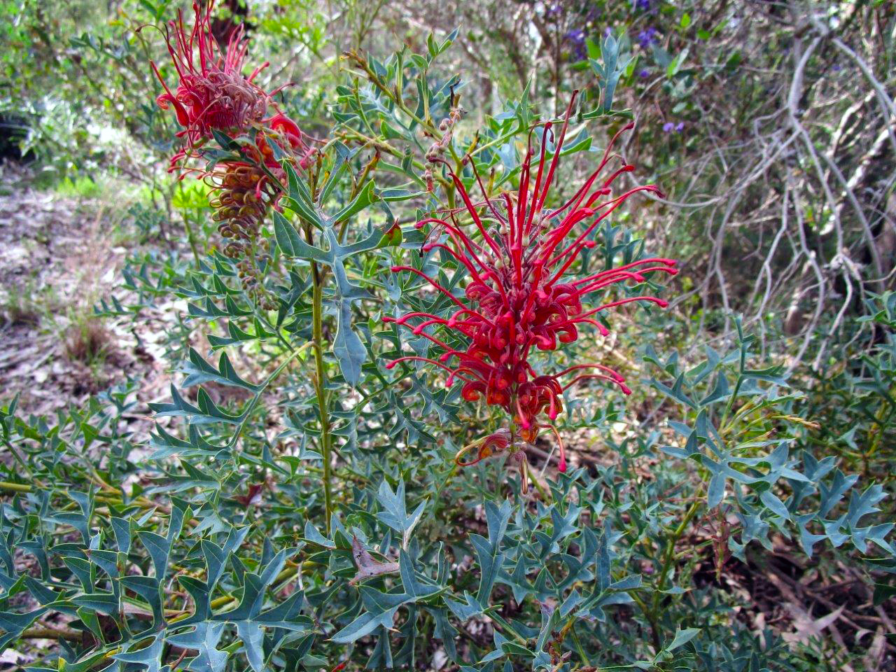
Grevillea bipinnatifida or Fuchsia grevillea.
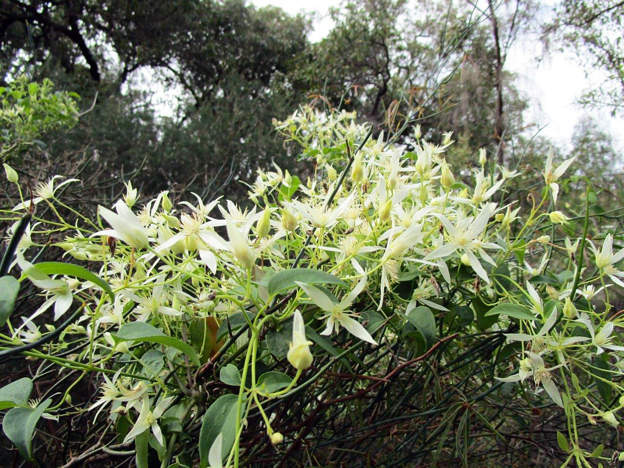
Clematis pubescens or old mans beard.
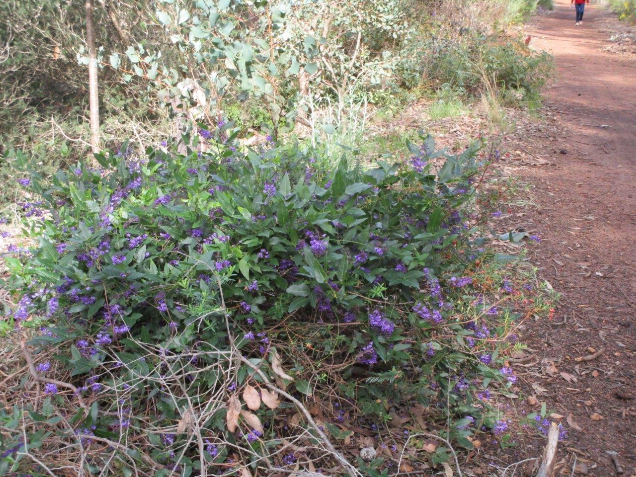
Hardenbergia comptoniana or Native Wisteria.
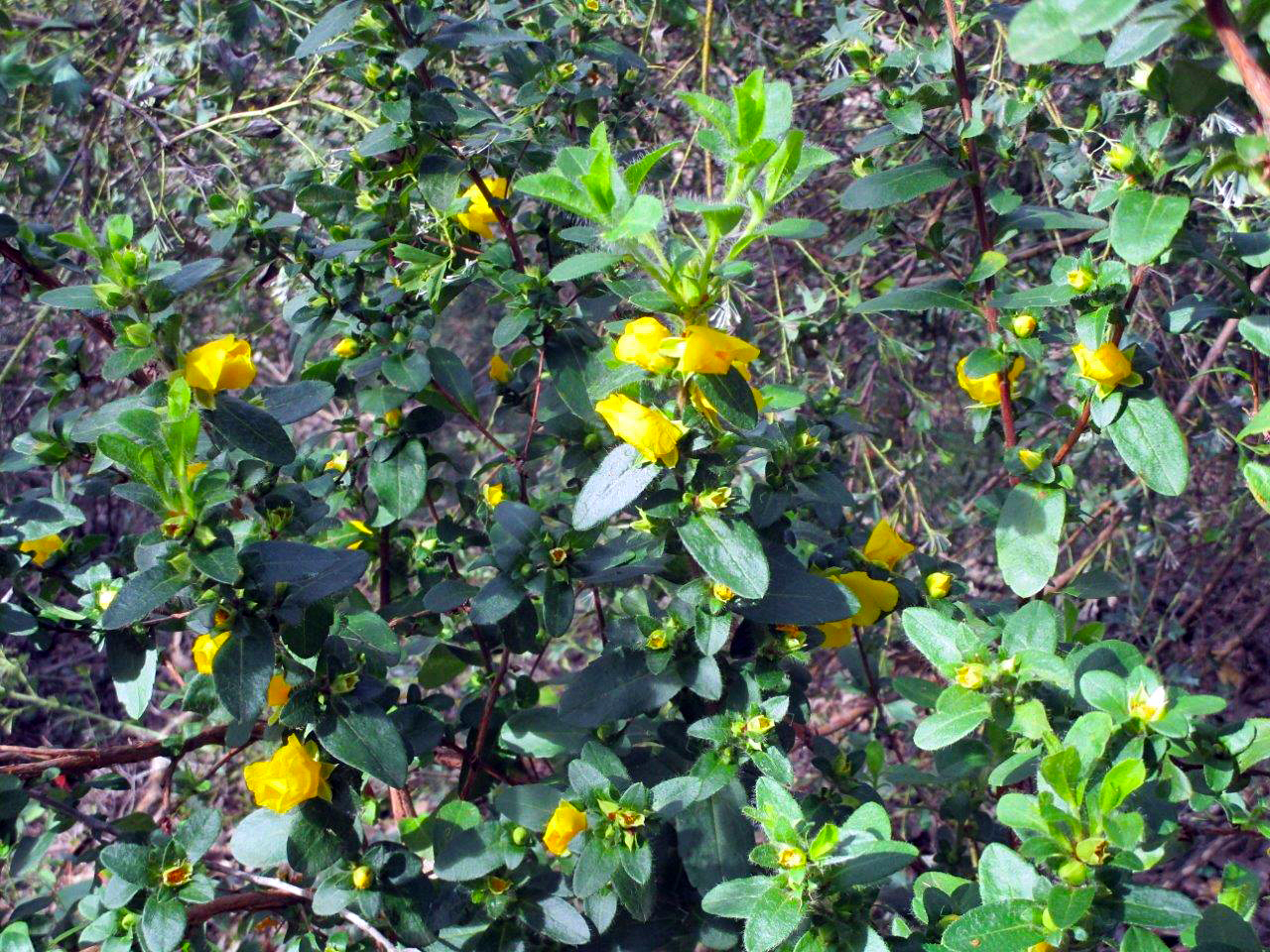
Hibbertia commutata.
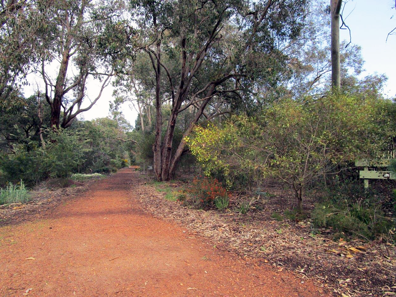
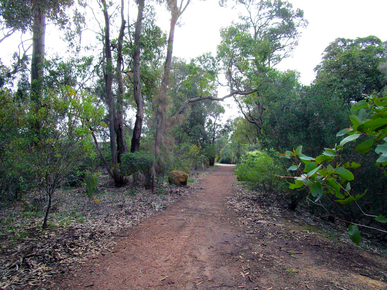
The Glen Forrest end of the trail.
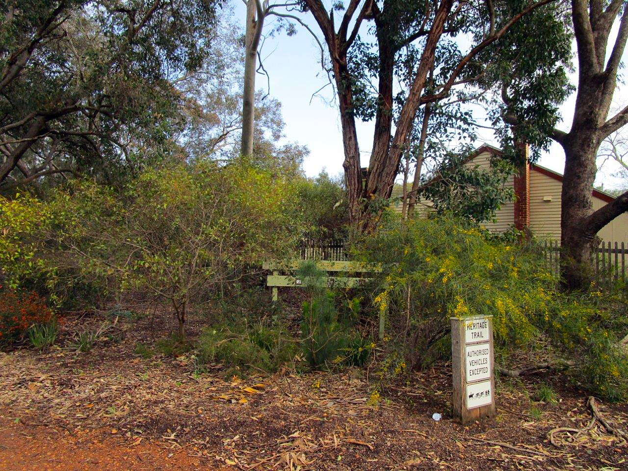
The former Glen Forrest Station-master's house in the background.
This end of the trail is maintained by 'Friends of Nyaania Creek ‐ Glen Forrest'
and the Darlington end is maintained by 'Friends of Nyaania Creek ‐ Darlington'.
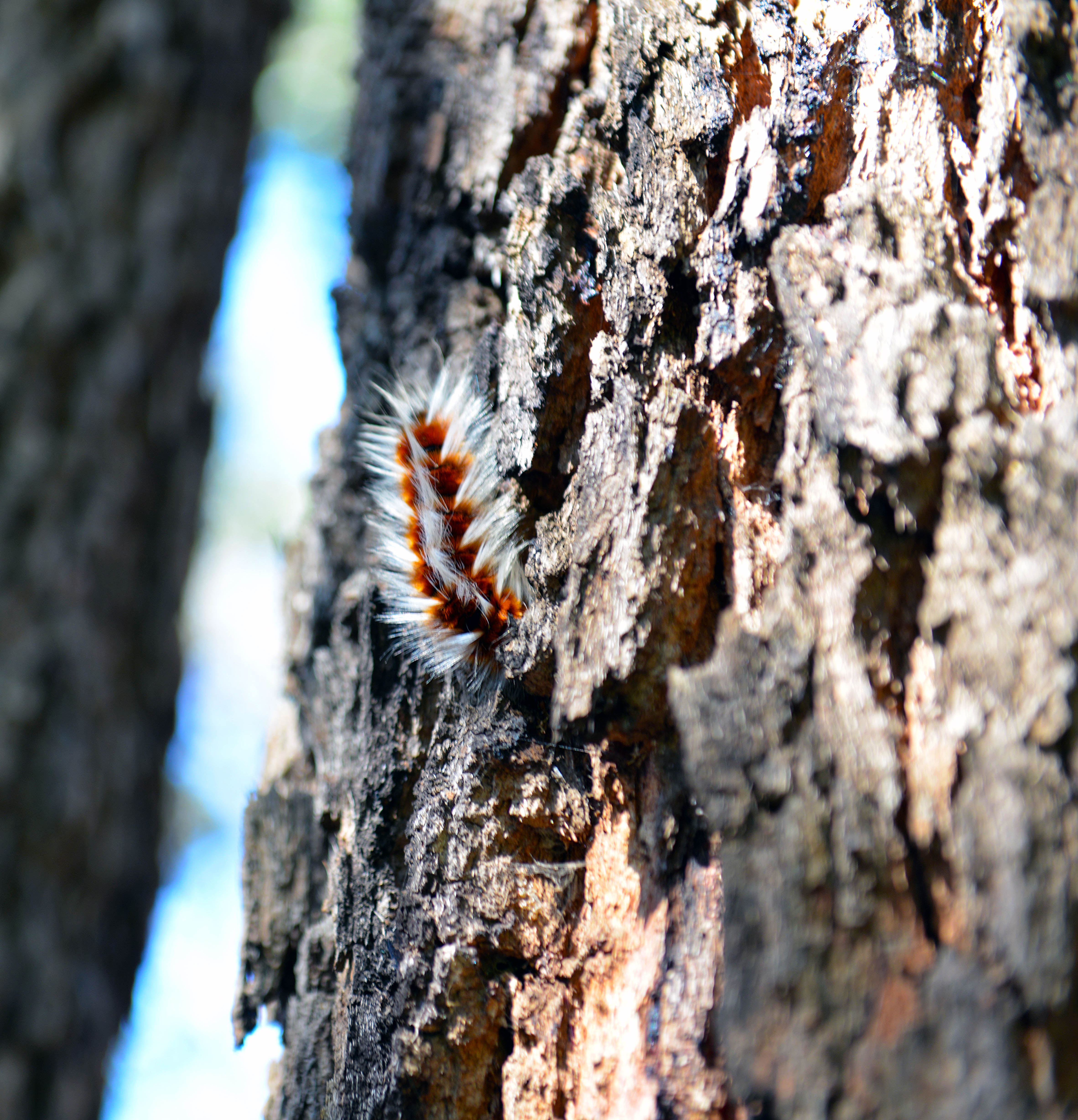
There is life everywhere, this is a Anthela varia (Hairy Mary) caterpillar.
Enjoy the croaking of the many frogs hiding in the waterways and ponds during the wet months and of course, it goes without saying, that in the summer months, be careful of reptiles (particularly snakes and goannas) and always keep your distance from native animals. Also note that the picking of wildflowers is prohibited anywhere within the state.
All images: Rob Borsje, Lyn Myles.
© Copyright 2020 Rob Borsje & Lyn Myles.